Giant Mudpots

In my previous post I showed you the Salton Sea mud volcanoes, which are ULTRA cool. (YOU should go there. REALLY!)

I also knew there was another, similar mud-active field in the area, but it took me a while to find it (especially since I was approaching it from the wrong direction and didn’t have my copy of the directions with me).

I eventually got there and discovered that, unlike the previous field I visited, it didn’t have any mud volcanoes. (AWWW!)

It did, however, have GIANT mudpots. (WOO-HOO!)

In fact, the main mudpots were so large that they’d built a fence around them with a viewing platform.
100_1177_400x299

I took this photo from a distance, over the fence. But you’ll notice in the picture below that one slat in the fence is missing . . .
100_1205_400x299

I mean, that’s just an OPEN INVITATION, soooooo . . .

Continue reading “Giant Mudpots”

Mud Volcanoes! YEE-HAW!!!

100_1090_400x299The Salton Sea mud volcanoes were the thing that prompted this trip.

Once I found out about them, I knew I had to go.

I mean: Mud volcanoes? You gotta go see that!

Any volcanoes are cool, and ones made especially of mud are unique.

Not only because they’re made of mud but also because they are much SAFER than regular volcanoes when they’re errupting, so you can get much closer to them and even CLIMB UP ON THEM (like I did!) while they’re errupting.

WARNING! Impending cool pictures!

Continue reading “Mud Volcanoes! YEE-HAW!!!”

Obsidian Butte

100_1050_400x299My first stop (when I FINALLY got to it) was Obsidian Butte.

Obsidian Butte is one of five lava domes in the Salton Sea Geothermal Field.

The part of it that is exposed above ground is about 90 feet tall, but it goes much, much deeper underground.

MORE INFO HERE FOR GEO-GEEKS.

Here (left) I am parked part way up it.

The thing that drew me to Obsidian Butte was the obsidian–and the pumice.

Continue reading “Obsidian Butte”

Half The Adventure

100_1048_400x299Yesterday’s trip out to the Salton Sea region was quite eventful.

Rather than just doing a simple lap around the sea, this time I was going to certain specific points of geological interest. This meant getting off the main road and onto some really tiny ones.

The area I needed to go into was farm country, so what I was driving on were basically unpaved access roads designed to let the farmers have access to their fields.

On roads like that, you generally go pretty slow because they’re rough and you’re kicking up a ton of dust and pebbles.

It’s interesting when two drivers meet coming in opposite directions, because you’ll have to drive in his dust wake and he’ll have to drive in your dust wake. You approach each other carefully, too, because the roads are so thin.

Almost nobody who isn’t a farmer is out on these roads, so if you happen to be wearing a cowboy hat and driving a pickup then you get a friendly wave of recognition as a member of the local community as you pass the other driver–even if you happen to be a visiting apologist who’s here for the geothermal anomalies.

These roads are so deserted that some of them are one lane. In fact, some of them are one lane MUD PATHS.

What’s more, some of them (or parts of them) DON’T EVEN EXIST.

Y’see, I discovered that what the roads actually ARE and what the maps SAY THEY ARE ain’t quite the same.

It seems that a planning commission or somebody laid out a nice square grid of roads to allow access the fields, but they didn’t take into account the canals and such that were already there. As a result, when the builders tried to impose the grid over the existing area, they hit some problems–like a street supposed to go over a canal where there ain’t no bridge for it.

As a result, the locals took some . . . uh . . . liberties with the way the roads were supposed to be laid out. After all, they knew where the canals and things were and these roads are so little used that anybody who could be expected to be using them would know how to get where they’re going.

There wasn’t even any need to . . . um . . . tell the planning commission about the exceptions that were made. So the maps got made as if the original grid exists.

That’s all fine until a visiting apologist shows up to see the local geothermal anomalies. . . .

Continue reading “Half The Adventure”

“That’s Mojave. That’s Where I Was Born.”

Mohave_trekWhile I’m linking places I’ve seen in my travels to sci-fi, lemme mention a connection to the Mojave Desert, whose southern edge I skirted on my recent road trip.

To the left is a frame from the original pilot for Star Trek. The pilot was called "The Cage" and did not feature Jim Kirk as captain of the Enteriprise. Instead, the ship was captained by Christopher Pike (played by Jeffrey Hunter).

NBC liked the pilot, but not enough to pick up the show. So they took the unusual step of ordering a second pilot, for which they gave Gene Roddenberry a lot of "notes" (directives for what to do differently).

Among the notes were that Roddenberry needed to LOSE the Number One character (an emotionless female HUMAN first officer played by Majel Berrett, later Nurse Chapel, later Majel Berrett-Roddenberry, later Lwaxana Troi and the Federation Computer Voice) AND he needed to lose the pointy-eared character Spock.

Roddenberry sacrificed the first in order to save the second.

Whether he also needed to lose Jeffrey Hunter as Christopher Pike or whether left for other reasons, I dunno.

But in the original pilot we were treated to an interesting story that was significantly similar to . . . and significantly different from . . . later incarnations of Trek.

(The footage from "The Cage" was also later almost all used in the Star Trek two-parter "The Menagerie"–the one featuring a horribly disfigured Captain Pike [now played by Sean Kenney] in a wheelchair)

In "The Cage," Captain Pike is captured by aliens who can read his mind and give him any fantasy he wants. They’re doing this to try to get him to hook up with a human female they also have so that the two can become the progenitors of a new race on their dying planet.

In one scene (pictured above), they give Pike a fantasy of going back to Earth, where he is married to the captive human cutie and lives in his home town of Mojave (mo-HAH-vee), California.

Upon seeing the ultra-futuristic sci-fi city, Pike declares:

I used to ride through here when I was a kid. Not as pretty as some of the parks around the big cities, but. . . . That’s Mojave. That’s where I was born.

Later, his imaginary wifey remarks:

They say that in the olden days all this was a desert–just blowing sand and cactus.

That’s a pretty good clue that we’re talking about a not-yet-built city in the Mojave Desert, which has been terraformed into being like a more garden-like part of Terra.

But there are a couple of problems:

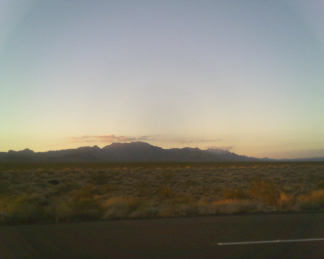
1) The Mojave Desert ain’t just a bunch of dunes. Like many deserts, it doesn’t fit the typical sand dune model that we have in mind from TV and the movies. Instead, much of it is filled with scrub and there isn’t a sand dune in sight, as my recent post showed.

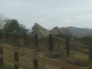
But this is somewhat soluble since there IS a section of the Mojave Desert that is filled with sand dunes. It’s called the Kelso Dunes (below), and is presumably where Captain Pike’s hometown was built. (Obviously a serious blow was done to LEAVE-IT-ALONE-AT-ALL-COSTS!-environmentalism between now and then. Maybe World War III did that.)
Kelso_dunes

But there’s also a second problem:

2) THERE ALREADY IS A MOJAVE, CALIFORNIA!

It’s near Tehachapi.

Mojave

I mean, it’s not a BIG town–in 2000 the town only has 3,800 inhabitants–but then Captian Pike indicated that his Mojave was a smaller place.

It also seems to be in at least a semi-desert area, though I have no indication that there are sand dunes there.

So either this Mojave doesn’t exist in the Star Trek universe or it ceased to exist between now and Captian Pike’s time (maybe World War III did that) or it’s been renamed–or something!–and a new Mojave has been built in the Mojave Desert, as the pilot implies.

In any event, the real world Mojave is about three and a half hours north of San Diego.

Maybe someday, I’ll go there, too.

Mojave2

The Monster That Challenged The WorldImperial County!

Monster_that_challenged_the_worldI thought I’d wrap up my series on the Salton Sea by mentioning my favorite movie about the Salton Sea.

No, it ain’t The Salton Sea starring Johnny Depp.

It’s a film called The Monster That Challenged The World starring . . .  well, nobody, really.

It does have the weaselly-voiced Hans Conried (below), better known for playing weaselly-voiced characters on Rocky & Bullwinkle (he was Snidley Whiplash) and other cartoons, but he ain’t the star.

The star, as in any 1950s sci-fi B-movie, is the monster (left).

The premise is that some kind of prehistoric snail eggs buried below the bottom of the Salton Sea have been exposed to . . . (are you ready?) . . . atomic radiation and hatched and released semi-snail monsters of unusual size who may well . . . (are you ready?) . . . CHALLENGE THE WORLD!

Though in the film they never really get past challenging part of Imperial County.

Hans_conried_challenges_the_worldThe flims was made in 1957 when they were trying to pass the Salton Sea off as a resort area for wealthy tourists.

Why wealthy tourists weren’t attracted to the area by tales of giant radioactive snail monsters, I don’t know.

That’s certainly one of the reasons that I went there!

The movie was filmed on-location (for the most part), though in one scene they do try to pass off the beach on Catalina Island as the beach for the Salton Sea (that dog won’t hunt!). They also go to the destert town of Brawley, but most of the action is filmed right there at the wondrous, slime-filled Salton Sea!

YEE-HAW!!!

It’s ’50s sci-fi camp in all its black-and-white glory!

GET THE MOVIE!

The Salton Sea

SaltonseamapWhenever I go somewhere, I like to do laps around famous things.

For example, when I went to New Orleans for a visit, I went down to Bourbon Street and walked down the entire length of it and back up again. (And it is, let me tell you, one seedy place. Going to it once because it is the most famous thing in the city is justified. Going more than one is not necessary, thankyew.)

When I went to the Salton Sea, therefore, I did a lap around it.

I drove up the east-hand side of it first, stopping at Bombay Beach and the state park visitors’ center, then turned around and came back down the west-hand side.

Oh yeah. . . . and I promised to tell you why I went there in the first place. . . .

Continue reading “The Salton Sea”

Imperial County Strikes Back!

I’ll tell you about my trip to Vasquez Rocks soon, but I realize that I need to finish telling you about the trip to the Salton Sea, so here’s some more on that. . . .

The counties in California are HUGE!

I mean, they’re larger than some STATES back east are!

San Diego County is so large that it contians FOUR mountain ranges! (As we saw in the last post in this series.)

When you hit the edge of San Diego County, you SUDDENLY plunge out of the mountains and into a huge flat, plane known as Imperial County, though.

Imperial County is one of the largest food producing centers in WORLD–with acre upon acre of capacity that hasn’t even been tapped yet! (Take THAT, over-population freakazoids!)

Imperial County needs water, though, and that water is chiefly supplied by the Colorado River. (DUM! DUM! DUM!) More about that later!

As you drive out into it, you can’t help noticing how FLAT Imperial County is compared to the mountains that are to be found in the eastern portion of San Diego County. Here’s what the flat plane looks like:

43287121_135350776_0

There are still many interesting desert treats that you’ll encounter. For example: lollipops that have SCORPIONS inside them!

Continue reading “Imperial County Strikes Back!”