Category: Travels
Beth Sarim

Beth Sarim is a house in San Diego that was built by the Jehovah’s Witnesses–for a really WEIRD purpose–during the days when "Judge" Rutherford was president of the Watchtower Society (quotation marks because he only served as a temporary substitute judge).
Rutherford actually lived here. The leader of the JWs walked through the front door you see to the left and looked out the windows of this house.
It was my first visit to the location. I’d known about it for years but had never discovered the street address until this week. (It’s 4440 Braeburn Rd, though don’t bug the current inhabitants if you visit there; they have nothing to do with the JWs.)
Turns out that I used to live within a couple of miles of the location (it’s on the south side of Mission Valley, and I used to live on the north side, near Qualcomm Stadium).
When I visited Friday I sent a mystery photo to the blog using my camera phone, but the quality of camera phones ain’t what I’m looking for yet, so I took along a better camera as well. Here’s some pictures from the visit. (click any of these pictures to enlarge them.)
Motion Pictures
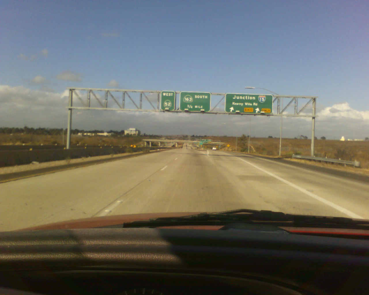
Recently I was telling you about my trip to the Salton Sea. I wanted to show you some pictures from it, but it proved harder than I anticipated to get the pictures out of my camera phone.
As I was saying, the trip over the inland mountains in San Diego County is a WILD ride!
You go from basically sea level up to 4200 feet (just a thousand feet shy of a MILE UP!) and then plunge SUDDENLY back down to sea level again when you hit the Imperial Valley (which is Imperial County rather than San Diego County).
The ride is beautiful.
As I made it, I wished I could take all y’all along with me (though my pickup would never hold that many) just so you could see the GORGEOUS mountain scenery.
Photos never really capture the beauty fully, and you always drive past the most interesting things before you can get a picture of them, but . . .
WAIT! WHAT AM I SAYING???
Taking pictures of passing scenery with a camera phone as you’re driving a pickup in 70-80 mph traffic on curvy mountain roads???
That’d be incredibly reckless!!!
But then . . .
That Y-chromosome I’m packin’ gives me a license to do reckless things from time to time.
So here goes . . .
Highs & Lows
Here’s a little SoCal geography to set you up for my trip to the Salton Sea.
If you were standing at the edge of the beach in San Diego, you’d be at what altitude?
Sea level. Right.
But if you go 15 miles inland, to El Cajon, where I live, you’d be at an elevation of 435 feet.
What happens if you keep going? Suppose you go in another 15 miles, to Alpine. What would the elevation be then?
If the rate of the slope is constant, it’d be 870 feet, but the rate isn’t constant. Alpine’s official elevation is 1735 feet, or thereabouts. Actually, the situation is more complex because the way Alpine’s borders work, you hit the 1000 elevation mark just before the city limits and the 3000 elevation mark just after you pass the city limts, so you’ve got a 2000 foot jump in just about the course of one town (spread out as it is).
A bit further on, about 60 miles inland, you hit the 4000 foot mark, and you stay above that level for another 60 or so miles, though it never gets much above 4200 feet. Then it drops off again.
FAST!
In six or so miles you drop from the 4000 foot mark down to the flat plane of the Imperial Valley, which is basically about sea level again.
The largest town along the highway is El Centro, which has an elevation of a measley 45 feet above sea level.
So as you move inland from the beach, you get a moderate climb up to El
Cajon, then a really fast climb up through Alpine to a high,
mountainous region that drops off suddenly to the desert floor.
As you make the transition through the mountainous region, you pass
through a number of different small mountain ranges: the Cuyamaca
Mountains ("KWEE-ah-MAH-kah"), the Laguna Mountains ("lah-GOO-nah"),
the In-Ko-Pah Mountains ("In-Ko-Pah"), and the Jacumba Mountains
("hah-KUM-ba"), in that order.
It’s a wild ride! (More on that tomorrow.)
But what happens if you turn north at El Centro to go up to the Salton Sea?
You keep heading downhill.
The slope is gradual, but when you get to the Salton Sea the elevation is:

Yes! That’s right! The Salton Sea is actually below sea level!
In fact, the lowest part of the sea is even lower. It’s got a maximum depth of 48 feet, the lowest point in the place is 276 feet below sea level.
That’s just a fathom shy of being the lowest point in North America, which is 282 feet below sea level.
And where would that be?
A site just up the road from the Salton Sea . . . Death Valley.
SoCal vs. The Smog Monster
 I grew up in the mountains, away from any large cities, and so smog was something I only heard about.
I knew it was bad. I knew it was in the atmosphere over cities. I knew it was caused by pollution.
But I didn’t know that you could see it.
I found out otherwise when I moved to San Diego and noticed a certain haze that appeared on some days. Someone then identified it for me: That’s smog.
I had no idea.
California take extensive measures to try to cut down on smog. You have to get your car checked on a regular basis to see whether it meets the state’s automotive emissions guidelines (or they won’t renew your license tag). There are ads for "Smog Check"s at virtually all of the filling stations that aren’t tied to a convenience store.
Apparently the smog is much better these days than it was back in the 1970s. It’s also better in San Diego than it is in Los Angeles.
But lately it’s been really bad where I live, in El Cajon (on the outskirts of San Diego). It’s not as bad as in the picture above (that’s of a Moscow rush hour), but it’s bad enough that I can’t see the hills the way I’m supposed to be able to. There’s a haze between me and the hills, and there’s so much haze between me and the most distant hills that I can barely make them out.
It’s not normally this bad, but it’s no fun for allergy sufferers with all that particulate matter in the air.
While I was researching this subject I found a government-run web site that contains air quality forecasts and maps for the whole country.
Yesterday we had an unexpected set of thunderstorms (rare phenomena here in SoCal), which washed a lot of it out of the air, so we had a better day today. The previous couple of weeks, though, the haze was really bad.
Like the day I drove out to the Salton Sea.
It was interesting to note that as soon as I got out of El Cajon and drove up in the mountains to Alpine (15 miles away and about 1500 feet higher above sea level), all the smog had vanished and you could see the hills clear as a bell, no matter how far away they were.
More on the trip later.
There Will Be A Slight Delay . . .
. . . in telling y’all about my trip to the Salton Sea. Other things took priority, so I won’t be able to blog about that today. Sorry.
Mystery Photo

What’s this?
Okay, it’s a picture of my foot.
But where specifically is my foot (generalizations don’t count) and why did I go there?
Therein lies a tale.
More tomorrow.